It's possible to drive to the top of the falls with 4WD. I started my hike in the free parking at the southwest end of town and walked along the San Miguel River Trail, a strip of clear running mountain stream winding between the ski lodges, condos, and sports shops, past a beaver pond and through the town park and camp ground.
At the east end of town the river trail merges with the Idarado Legacy Trail, a segment with interpretive signs that point out the mining history of Telluride.

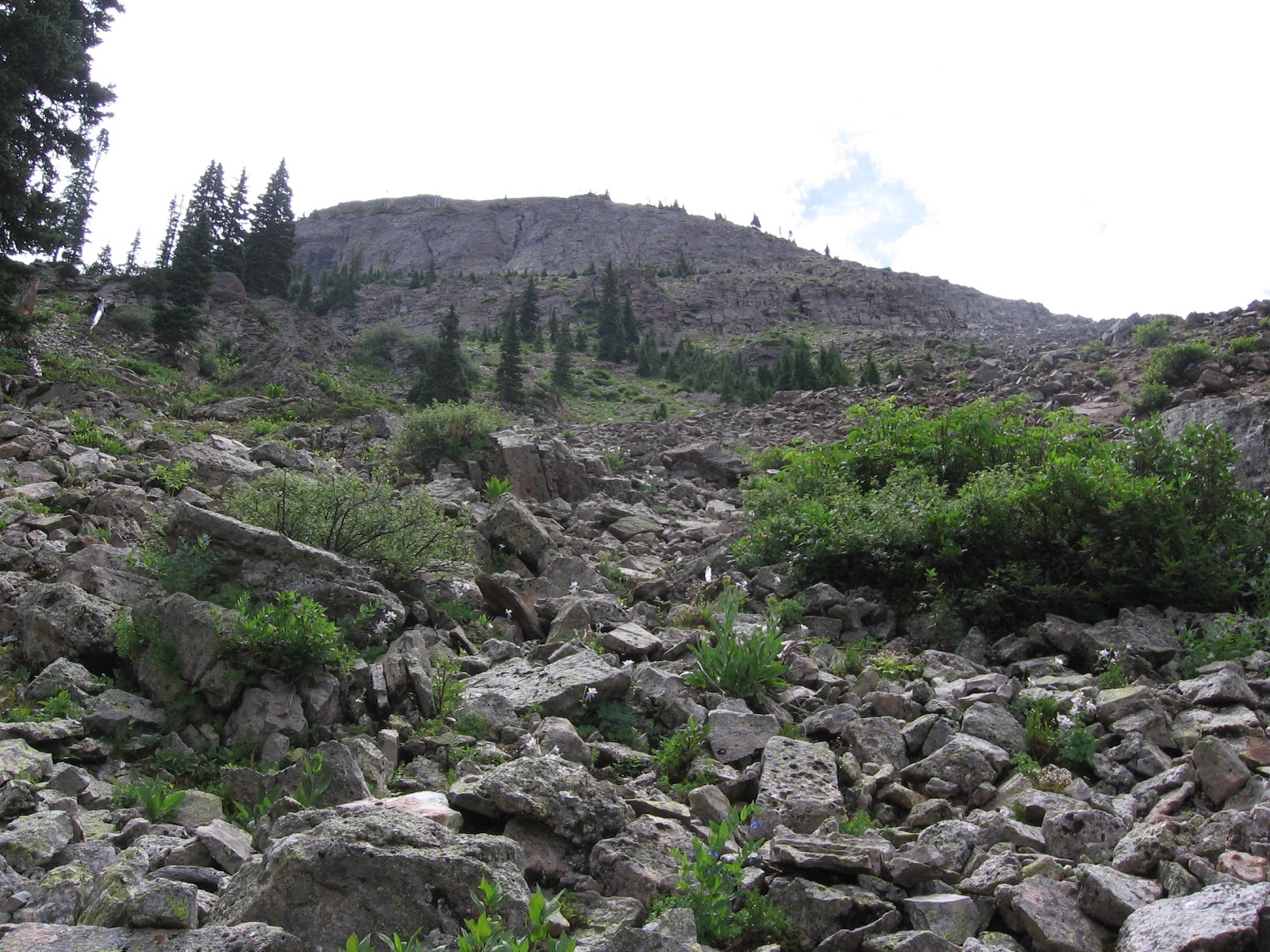
Past the old mill, a rough steep road, surrounded by towering peaks, climbs by switchbacks up towards the falls.

It is possible to drive through town to trailhead parking and start 1.2 miles from the base of the falls, or 1.8 miles to the top. Along the way there are also some views of Ingram Falls.
 From a distance, it looks like there is a building up above the falls. What can that be, way up there? The historic markers point out that the building is a power plant, originally built in 1907 to supply power for mining operations. After a checkered history, the plant has been restored and is currently producing current.
 One of the switchbacks bends back right at the base of the falls, a light mist blowing off the water tumbling about 365 feet.
It took me 2:30 hours to get up to the power plant from the west end of town, spending part of the time dodging 60 or so crazed dirt bike riders ripping down the rough road on a multi day mountain tour. At the top it is possible to continue on Black Bear Road toward Ingram Falls, or toward Blue Lake and Bridal Veil Basin.

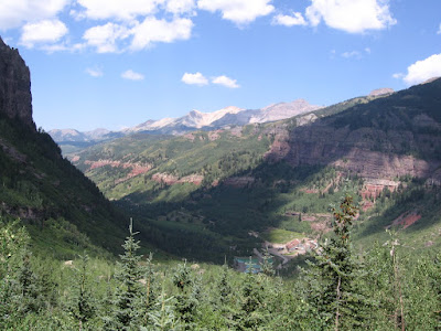
On the return hike, I took advantage of the free summer gondola rides from Telluride Station, taking off from right along the River Trail up to Mountain Village, a Telluride suburb that doesn't fit in the the Victorian themed valley.
 The gondola has a stop at Station St. Sophia, a scenic trail head with a nature center, and then descends down into the upscale Mountain Village area. The Mountain Village area has more ski lodges, condos, lifts, and sports shops, and the golf course is up there, next to a lot of nice looking houses.