The Pine Creek Trail is a 2 mile round trip along the bank of the Gunnison River in the Curecanti National Recreation Area, 35 miles east of Montrose along Highway 50 in southwest Colorado. This segment of Gunnison River is just below the Blue Mesa Dan and is at the extreme upper end of the Morrow Point Reservoir.

The Pine Creek Trail is the route that visitors who want to go on the Pine Creek Boat Tours have to hike to get to the boat dock. The trail is also always open for hikers. This trail is an opportunity to hike at the bottom of the Black Canyon of the Gunnison.
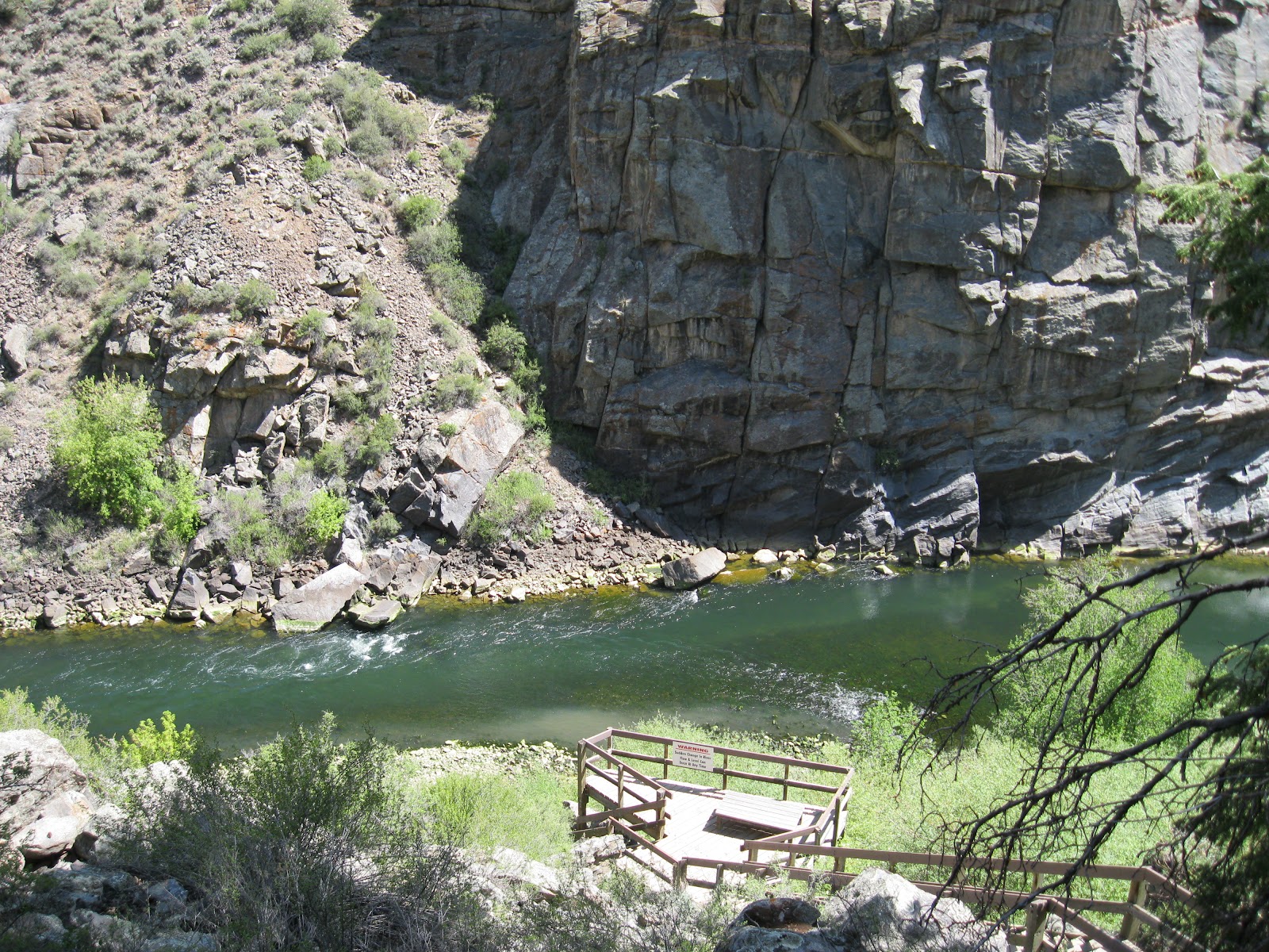
There are 232 steps to descend from the trailhead to the trail. The trail follows the grade of the old railroad bed. There are several benches along both the steps and further along the trail to view the steep canyon and rest. Pine Creek flows alongside and under the steps.

Interpretive signs along the river segment of trail describe the history of exploration. Beginning in August 1882, the first narrow gauge railroad traveled through the Black Canyon and continued for 67 years. The rails were removed in 1949, but the grade and trestles remained for a while and were used by automobiles to reach the fishing areas.

It took me 0:25 minutes to arrive at the boat docks. The boat tours are offered during the summer season at 10:00 AM and 12:30 PM, every day except Tuesday. Reservations are required, no walk ups, but the trail is always open. The boat visible on the day I hiked looks like it can take about 10 passengers at a time. The park information says there is a 42 passenger boat also.

The trail continues past the boat dock for about 10 minutes of easy walking, and then seems to fizzle out. As the trail goes further downstream, the water gets obviously deeper as the Morrow Pont Reservoir begins.

When hiking, you can’t tell that you are actually very close to the toe of the Blue Mesa Dam. There is a view point along Highway 92 a short distance east of the Pine Creek turnoff from Highway 50.
The Blue Mesa Dam was completed in 1965, the first of the three in the Curecanti area. The dam is 390 feet high and holds back 940,800 acre-feet of water with a surface area of 9180 acres. The power plant originally had two 30,000 kilowatt generators driven by turbines. The generators were upgraded to 43,200 kw in 1988, for 86 megawatts total.

From the same viewpoint, the Pine Creek Trail area is also visible. My outward hike took 0:35 minutes and the return took 0:40 minutes for a total hike of 1:15 hours. I hiked on a late May day.

No comments:
Post a Comment