Showing posts with label Curecanti. Show all posts

Friday, May 25, 2012

Mesa Creek Trail-Curecanti


The Mesa Creek Trail is a 1.5 mile round trip along the Gunnison River in the Curecanti National Recreation Area, east of Montrose in southwest Colorado. This trail is at the historic Cimarron area near the toe of the Morrow Point Dam and is at the upper end of the 6 mile long Crystal Reservoir.


The road to the trailhead follows the grade of the railroad bed that followed the Cimarron River to a junction with the Gunnison River in the Black Canyon. A preserved trestle normally shows the historic Engine 278, but in 2012 the engine has been removed for renovation. If I’m reading the map correctly, the Denver and Rio Grande Railroad exited the Black Canyon here at Cimarron and continued west to Montrose.


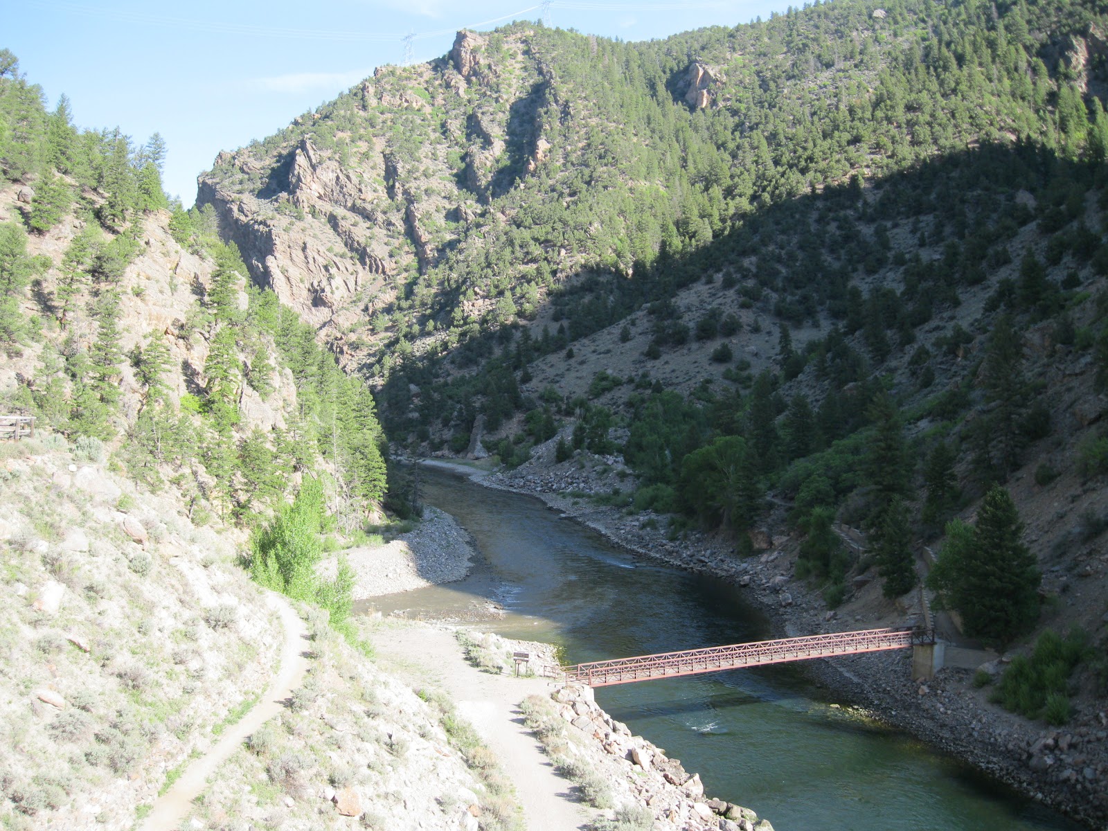
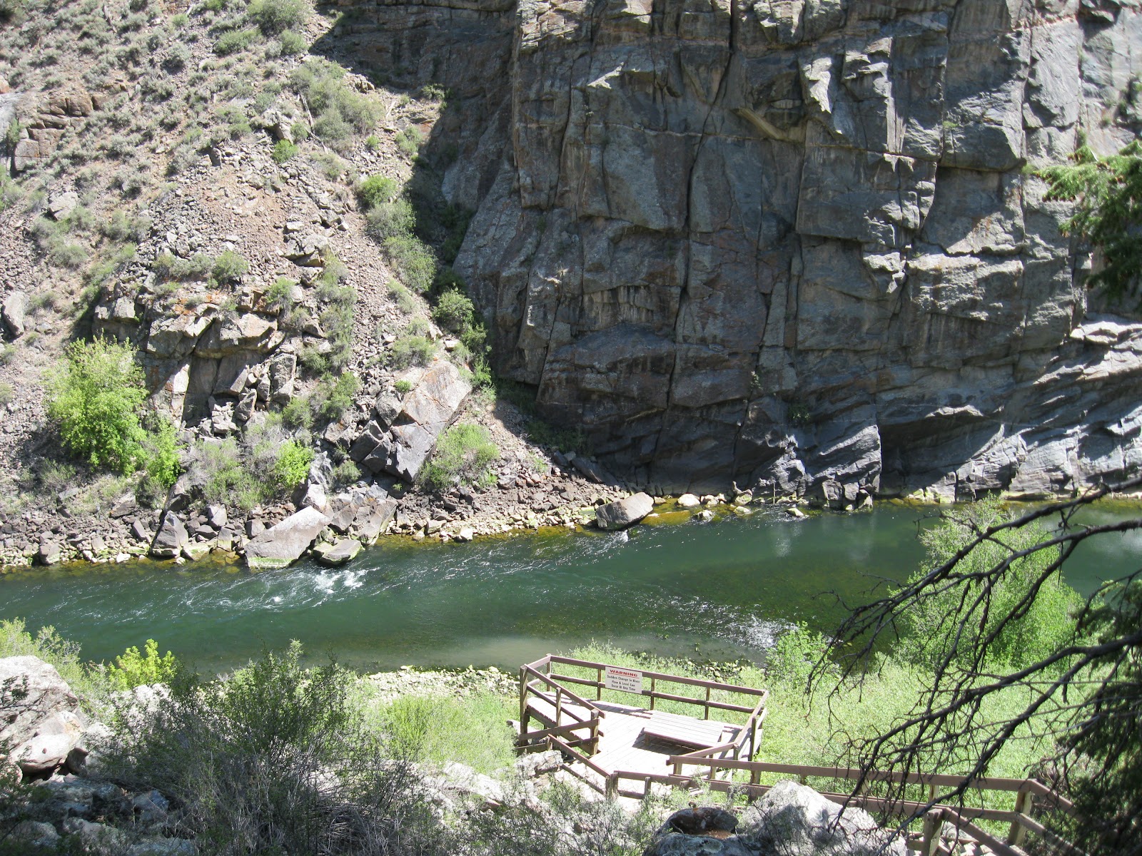
The trail descends from an overlook point, crosses a footbridge and continues west on the north side. The Mesa Creek flows into the Gunnison River from the north side and there is a small footbridge across the creek.


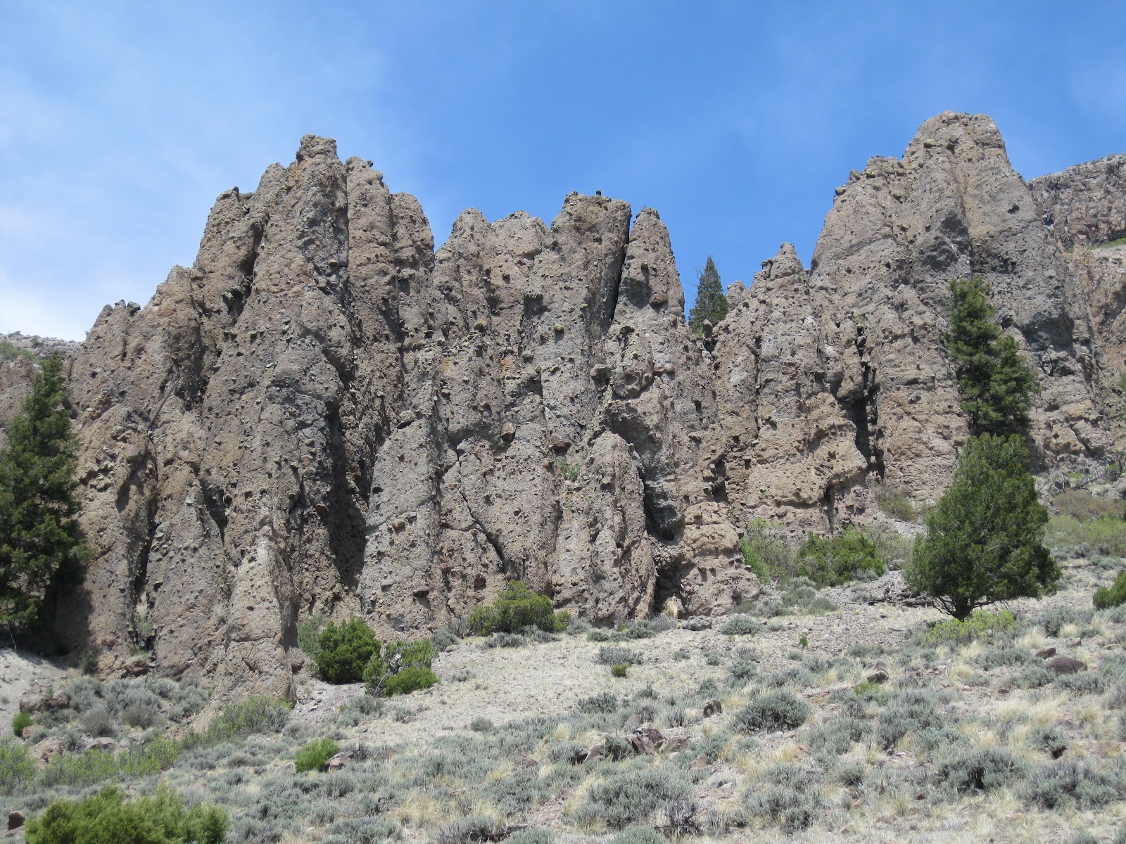
This is an easy trail to access the bottom of the Black Canyon and view the steep deep canyon walls that were such an obstacle to early settlers. These rocks are very old, more than 1 billion years.


Looking back upstream, there are views of the Morrow Point Dam. It is also possible to walk closer along a sidewalk from the parking area. The Morrow Point Lake behind the dam is 11 miles long and relatively narrow, but 450 feet deep.


At the river junction, the turbidity of the Cimarron River flows separately for a while with the clearer Gunnison River. My hike on the Mesa Creek Trail took 1:00 hour on a late May morning. 


There is also the short walk toward the dam and the railroad displays to view in this area. The Morrow Point Dam was completed in 1968 and is the middle of the three dams in the Curecanti area. It was the first thin-arch double curvature concrete dam built in the United States.

 It is 469 feet high and holds 117,190 acre feet of water in an area of 817 acres at a water elevation of 7160 feet. The power plant has two turbine driven generators with a total capacity of 173 megawatts after an upgrade in 1992 from 120 megawatts.


Thursday, May 24, 2012

Pine Creek Trail-Curecanti


The Pine Creek Trail is a 2 mile round trip along the bank of the Gunnison River in the Curecanti National Recreation Area, 35 miles east of Montrose along Highway 50 in southwest Colorado. This segment of Gunnison River is just below the Blue Mesa Dan and is at the extreme upper end of the Morrow Point Reservoir.


The Pine Creek Trail is the route that visitors who want to go on the Pine Creek Boat Tours have to hike to get to the boat dock. The trail is also always open for hikers. This trail is an opportunity to hike at the bottom of the Black Canyon of the Gunnison.


There are 232 steps to descend from the trailhead to the trail. The trail follows the grade of the old railroad bed. There are several benches along both the steps and further along the trail to view the steep canyon and rest. Pine Creek flows alongside and under the steps.


Interpretive signs along the river segment of trail describe the history of exploration. Beginning in August 1882, the first narrow gauge railroad traveled through the Black Canyon and continued for 67 years. The rails were removed in 1949, but the grade and trestles remained for a while and were used by automobiles to reach the fishing areas. 


It took me 0:25 minutes to arrive at the boat docks. The boat tours are offered during the summer season at 10:00 AM and 12:30 PM, every day except Tuesday. Reservations are required, no walk ups, but the trail is always open. The boat visible on the day I hiked looks like it can take about 10 passengers at a time. The park information says there is a 42 passenger boat also.


The trail continues past the boat dock for about 10 minutes of easy walking, and then seems to fizzle out. As the trail goes further downstream, the water gets obviously deeper as the Morrow Pont Reservoir begins.


When hiking, you can’t tell that you are actually very close to the toe of the Blue Mesa Dam. There is a view point along Highway 92 a short distance east of the Pine Creek turnoff from Highway 50.

The Blue Mesa Dam was completed in 1965, the first of the three in the Curecanti area. The dam is 390 feet high and holds back 940,800 acre-feet of water with a surface area of 9180 acres. The power plant originally had two 30,000 kilowatt generators driven by turbines. The generators were upgraded to 43,200 kw in 1988, for 86 megawatts total.


From the same viewpoint, the Pine Creek Trail area is also visible. My outward hike took 0:35 minutes and the return took 0:40 minutes for a total hike of 1:15 hours. I hiked on a late May day.

544544_$20 off any hotel booking of $350 or more with code TLSALE20

Wednesday, May 23, 2012

Dillon Pinnacles Trail-Curecanti


The Dillon Pinnacles Trail is a 4 mile round trip along the north side of Blue Mesa Reservoir in the Curecanti National Recreation Area, east of Montrose, along Highway 50, in southwest Colorado. The Curecanti area is upstream of the Black Canyon of the Gunnison National Park.


There is a pullover view area when approaching the Dillon Pinnacles from the west along Highway 50. Interpretive signs at the view area say that the Dillon Pinnacles began 30-35 million years ago during a period of volcanic activity that built up the nearby West Elk Mountains and the San Juan Mountains.

The lava, mud flows and rocks from the volcanoes built up the breccia that forms the pinnacles. Only 2 million years ago the Gunnison River cut through the area to form the Black Canyon of the Gunnison. Now, this segment of river below the pinnacles is the Blue Mesa Reservoir.


Just east of the view point there is a bridge and the trailhead is just across the bridge. The first segment of the trail approaches from the east and passes through a sagebrush area. At first, this seems like it is going to be a desert hike.


The middle segment turns north along a seemingly dry drainage, but which has riparian habitat and even Ponderosa Pines start to appear. Although they are not obvious in the first part of the trail, there are pines and firs on the on mesa top and some of them creep down the hillsides in the drainages.


The last segment turns west and heads for a flat hilltop viewpoint below the west end of the pinnacles. Interpretive signs along the trail say that the West Elk Breccia is 600 feet thick. It is formed of hardened molten rocks cemented together in a matrix of ash.


Later eruptions in the San Juan Mountains formed a cap rock or welded tuff on top of the breccia. The resistant cap rock causes the formation of the pinnacles.


Near the end of the trail there is a small scale pinnacle. An interpretive sign here says that the angular rocks are Andesite. The binding material is ash, pumice and dust.


There are several good benches along the trail at shady spots or good view points. The last part of the trail is a short loop that finishes on the flat hilltop below the pinnacles, with good views over the Blue Mesa Reservoir. It took me 1:00 hour to arrive at the end of the trail and 0:50 minutes to return for a total hike of 1:50 hours. I hiked on an 80 F degree, breezy late May day and carried 2 liters of water.


528614_Russell Outdoor Logo 125x125 18407_$5 Shipping on Orders of $99 or More!